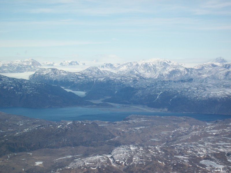
Narsarsuaq airport (BGBW) is perhaps the most common stopover in Greenland for North Atlantic ferry flights. Rwy 07/25 is 6,004 feet and there are NDB approaches with lowest minimums down to 1,500 feet. There is no tower control, but the AFIS / flight information folks are really good. For weather and flight planning you go inside the terminal. Jet and avgas are normally available.
Nars'q can be fairly challenging with winds and weather. The runway is surrounded by rising terrain and there can be strong turbulence in the fjord, especially with high winds.
Like all Greenland airports, Narsarsuaq is open limited hours (8:30 - 16:45 local last I checked) and closed on Sundays. If you're willing to pay the overtime charges, they will open the airport up for you after hours, but I believe this is rather expensive.
 Narsarsuaq airport (BGBW) in the distance
Typical Atlantic ferry flight routes through Narsarsuaq:
- BGBW - BIKF - 652 nm direct to Keflavik, Iceland.
- BGBW - CYYR - 676 nm direct to Goose Bay, Canada.
A word of caution: due to the weather and terrain I don't fly through Narsarsuaq unless I am positively sure that I have enough range to reach Sondre Stromfjord in case I have to go missed approach in Nars'q. In light airplanes I only plan a ferry flight trough Nars'q if the weather there is forecast to be basically VFR.
Read my blog post with more info on the Goose Bay - Narsarsuaq route in light aircraft and range requirement to divert to Sondre Stromfjord.
Narsarsuaq airport resources:
- Narsarsuaq airport info.
Note:
Information on these pages is from my own experience as a ferry pilot on various ferry flights. It is general in nature and neither official nor intended for flight planning. If you notice any discrepancies or would like to add anything, please email me at ward DOT welvaert AT gmail DOT com.
Disclaimer:
Information on this page may not be accurate or up to date and must not be used for flight planning purposes. Consult only official and current charts for flight planning.
